![]()
Keystone utilizes UAVs to provide efficient visual inspections and documentation of our client’s infrastructure. Keystone stores unlimited amounts of data for our clients in photo, video, and digital elevation model formats on an easily accessible but secure web interface.

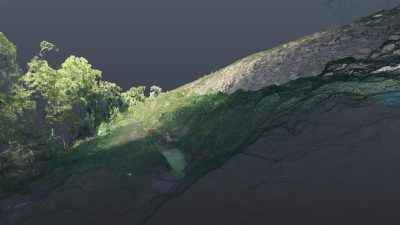
Keystone’s photogrammetrists use data from UAV flights to create 3D digital terrain models prior to...
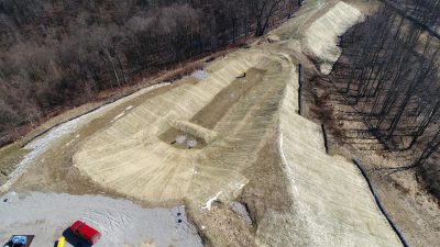
Keystone utilizes UAVs to provide efficient visual inspections and topographic mapping of as-built...

Keystone utilizes UAVs to provide efficient visual inspections and topographic mapping of pipeline...