![]()
Keystone utilizes UAVs to provide efficient visual inspections and topographic mapping of as-built construction conditions and stormwater facilities for contractor quantity verification and construction certification and post-construction performance documentation. Clients are provided with video and photo documentation of the project site for their records, and engineers can quickly verify elevations and capacity of stormwater features prior to terminating construction permits.


Keystone utilizes UAVs to provide efficient visual inspections and documentation of our client’s...
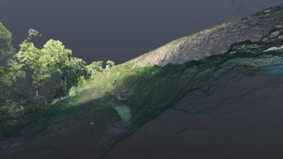
Keystone’s photogrammetrists use data from UAV flights to create 3D digital terrain models prior to...

Keystone utilizes UAVs to provide efficient visual inspections and topographic mapping of pipeline...