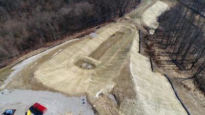
Keystone utilizes UAVs to provide efficient visual inspections and topographic mapping of pipeline right-of-ways for contractor quantity verification and construction certification and post-construction performance documentation. Clients are provided with video and photo documentation of the pipeline for their records.


Keystone utilizes UAVs to provide efficient visual inspections and topographic mapping of as-built...

Keystone utilizes UAVs to provide efficient visual inspections and documentation of our client’s...

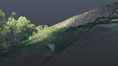
Keystone’s photogrammetrists use data from UAV flights to create 3D digital terrain models prior to...