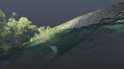
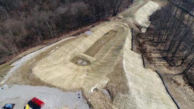
Keystone utilizes emerging unmanned aerial vehicle (UAV) and photogrammetric technologies to capture, analyze, share, and export project site mapping data automatically with industry-leading, fully-managed commercial drone software. Our service allows our clients to save time and money by capturing and analyzing progress and sharing updates with stakeholders for real-time collaboration.
Our pilots are fully trained and licensed to fly small UAVs for commercial purposes under FAA part 107. With our flight planning software and automated uploads and processing, Keystone provides 3D mapping of multiple sites and electronic deliverables from the mapping the very next day. This has been particularly useful for our clients who are tracking earthwork project progress, construction as-builts or who benefit from having aerial photography for recordkeeping purposes.